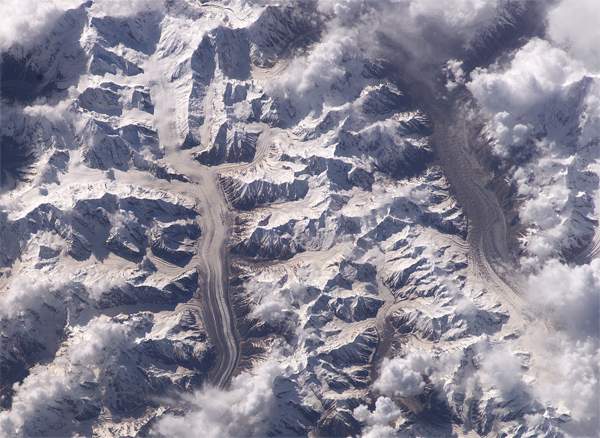
The Chogo Lungma glacier is the sixth larger glacier in Karakoram
range (58 kms). This picture, partly wasted by clouds, shows the glacier,
Haramosh range masked by the fog. One sees there nevertheless Malubiting
(7458m) and Spantik (7027m) prolonged in the West the incredible Rakaposhi
(7788m), invisible on this picture.
|


|
Home - History - Geography - local life - Travelling - Forums - Gallery - Links - Index var pagename='Page_picture_sat_chogo_lungma'; For more details, contact the Webmaster |